PhotoMapper v0.6 GPS Import Help
Warning: Undefined variable $lang_hst_hdr in /home/copikss/public_html/software/photomapper/help/v06/gpsimport.php on line 90
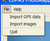
Select Import GPS Data in the File menu.
Find and select a tcx, hst, gpx, nmea or log file in the file dialog that appears.
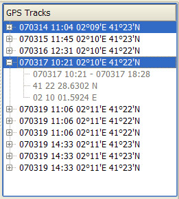
When GPS data has been imported the table in the GPS data tab will be filled with data from the individual GPS-logs found in the file. By clicking the plus sign before each item more details can be found. Large GPS-data files might take some time load.
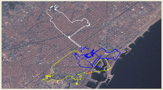
The imported tracks are shown in the GPS view on a satellite image. Selected tracks are shown in white, the track synchronized with the first selected image is shown in yellow, and all other tracks are shown in blue. The position of the first selected image will be shown with a red circle if a position is found in any of the imported GPS tracks.
|

